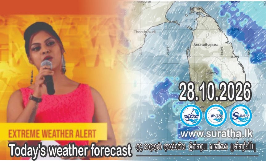
( කාලගුණ විද්යා දෙපාර්තමේන්තුව වෙබ් අඩවියෙන් උපුටා ගන්නා ලදි. )
2026 සැප්තැම්බර් මස 25 දින සඳහා කාලගුණ අනාවැකිය
2026 සැප්තැම්බර් මස 25 දින උදෑසන 05.30 ට නිකුත්කරන ලදි.
බෙංගාල බොක්ක ආශ්රිතව පැවති ගැඹුරු පීඩන අවපාතය පීඩන අවපාතයක් දක්වා දුර්වල වෙමින් පවතී.
ශ්රී ලංකාවේ කාලගුණ තත්ත්වයට මෙම පද්ධතියේ බලපෑම අද දිනයේ සිට ක්රමයෙන් අඩුවේ යැයි අපේක්ෂා කෙරේ.
බස්නාහිර, සබරගමුව, දකුණු ,මධ්යම සහ වයඹ පලාත්වල විටින් විට වැසි හෝ ගිගුරුම් සහිත වැසි ඇති වේ. ඇතැම් ස්ථාන වලට මි.මී. 75 ට වැඩි තරමක් තද වැසි ඇති විය හැක.
මධ්යම කඳුකරයේ බටහිර බෑවුම් ප්රදේශවලත් උතුරු-මැද සහ වයඹ පළාත්වලත් ත්රිකුණාමලය, හම්බන්තොට සහ මාතලේ දිස්ත්රික්කවලත් විටින් විට හමන පැ.කි.මී. (30-40) ක පමණ තරමක් තද සුළං ඇතිවිය හැක.
ගිගුරුම් සහිත වැසි සමග ඇතිවිය හැකි තාවකාලික තද සුළං වලින් සහ අකුණු මඟින් සිදු වන අනතුරු අවම කර ගැනීමට අවශ්ය පියවර ගන්නා ලෙස ජනතාවගෙන් කාරුණිකව ඉල්ලා සිටිනු ලැබේ.
WEATHER FORECAST FOR 25 SEPTEMBER 2026
Issued at 05.30 a.m. on 25 September 2026.
The deep depression over the Bay of Bengal is weakening into a depression. The impact of this system on Sri Lanka's weather is expected to gradually decrease from today.
Showers or thundershowers will occur at times in the Western, Sabaragamuwa, Southern, Central and North-western povinces. Fairly heavy falls above 75 mm are likely at some places in the above areas.
Fairly strong winds of about (30-40) kmph can be expected at times over Western slopes of the Central hills, North-central and North-western provinces and in Trincomalee, Hambantota and Matale Districts.
The general public is kindly requested to take adequate precautions to minimize damage caused by temporary localized strong winds and lightning during thundershowers.